Meet the Meteorologist
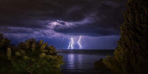
What's your favorite weather phenomena?
What got you interested in the weather?
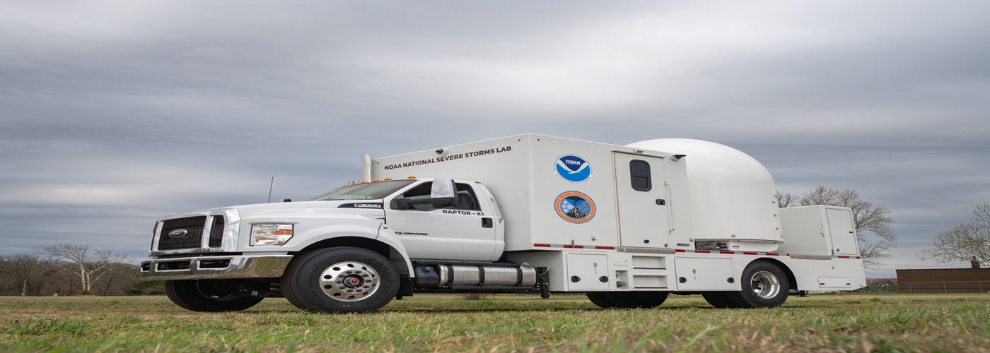

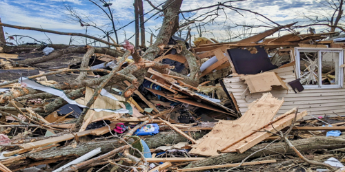
As severe weather season is underway, the National Oceanic and Atmospheric Association (NOAA) is deploying mobile radars to help forecasters.
Meteorologists depend heavily on radar to let them know what’s happening in a storm. One radar is a helpful tool, but when multiple radars are utilized they help forecasters get an even better picture of what is happening. One instance of this is in severe storms where rotation is present. One radar can show wind speeds toward or away from the radar, while additional scans from another radar in a different location would allow meteorologists to know the wind speed and direction.
NOAA says they can also rapidly be put in place to help with any radar gap issues in areas that are spaced too far between stationary radars that are already in use.
NOAA also says the use for these radars isn’t just limited to severe weather. They expect to utilize them to assist with wildfires too. With wildfires, the mobile radars can help with smoke plume detection, fire induced winds and other weather conditions that impact how firefighters can extinguish the blazes.
The mobile radars are an addition to other research vehicles that are already on the move in severe situations that include mobile mesonets, precipitation monitoring tools, uncrewed aerial systems, lightning mapping array, HailCams (high speed cameras encased in bullet-resistant polycarbonate mounted on the back of trucks) and LiDARS (LIght Detection And Ranging trucks which observe near surface winds in the boundary layer when precipitation is not falling).
While the radars will help during storms, the data is also going to be used to help with future research of storms. The more data readily available only helps researchers to learn more about the nature of storms.
 Paul Trambley
 Derek Heit
 Jennifer Wojcicki
 Laura Lockwood
 Ray Miller